-
Title
-
Demarcation of landslide vulnerable zones in and around Achanakal, South India using remote sensing and GIS techniques
-
Description
-
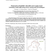
The study focused on identifying landslide-prone areas in the Kattery watershed, Tamil Nadu, using remote sensing and GIS techniques following a significant landslide event in 2009. The researchers created various thematic maps to assess factors influencing landslide susceptibility, such as drainage patterns, slope, geology, and land use. The analysis revealed that the northeastern and southwestern regions of the watershed are the most vulnerable to landslides, while the southeastern area is less affected. A comprehensive landslide hazard zonation map was developed, categorizing regions based on their risk levels, providing valuable insights for future disaster management and mitigation efforts.
-
Date
-
February 2017
-
Format
-
Pdf
-
Language
-
English