-
Title
-
Identifying and Mapping Landslides
-
Description
-
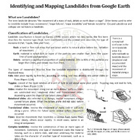
The tutorial from the Geological Survey of India focuses on identifying and mapping landslides using Google Earth. Landslides, defined as the movement of rock or debris down a slope, can be classified by material type (rock, earth, debris) and movement type (fall, topple, slide, flow). The tutorial emphasizes the importance of accurately mapping landslides, including their dimensions and features, using high-resolution satellite images and historical data. It describes practical steps for measuring landslides and exporting the data for analysis in GIS software, facilitating effective landslide susceptibility mapping to understand their triggers and impacts.
-
Date
-
May 2018
-
Format
-
Pdf
-
Language
-
English