
Items
-
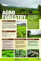 Poster on benefits of Agroforestry
-
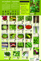 Poster on Vegetables
-
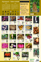 Poster on Tubers
-
 Poster on Greens
-
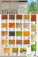 Poster on Grains The document focuses on the nutritional benefits of various grains and legumes. It highlights their importance in a balanced diet, specifically for providing energy, strengthening bones and teeth, improving immunity, and aiding digestion. The document includes a table detailing the nutritional value of different grains and legumes.
 -
 Kurumba Painting
-
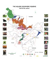 The Nilgiri Biosphere Reserve_Protected Areas
-
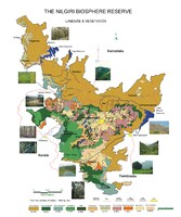 The Nilgiri Biosphere Reserve_Landuse & Vegetation
-
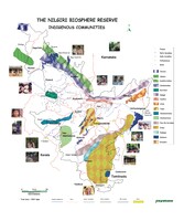 The Nilgiri Biosphere Reserve_Indigenous communities
-
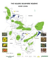 The Nilgiri Biosphere Reserve_Honey Zones
-
 Wax Room
-
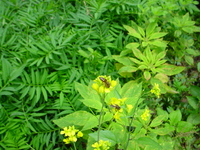 Pollen and Flowers
-
 People and Bee's
-
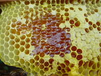 Combs
Combs
-
 Bee's
Bee's
-
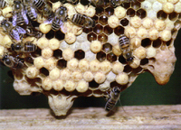 Bee Keeping
-
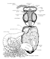 Bee Parts
-
 Bee Landscapes
-
 The Shola Ridge
-
 Wax Flowers
-
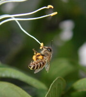
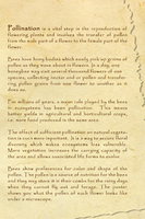 Pollination
-
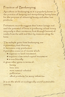 Practice of Bee Keeping
-
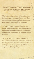 Traditional & Contemporary uses of Honey & Bees wax
-
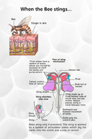 Bee Stings
-
 Bees wax Candle